NABL Accredited Laboratory

Topographical Surveying
SES Geotechnical Lab Pvt. Ltd. provides precise topographical surveys to map land features and elevations accurately. Our data helps engineers and developers plan and execute construction projects efficiently and safely.

Topographical Surveying

Topographical surveying is crucial for mapping land features, elevations, and contours before construction. At SES Geotechnical Lab Pvt. Ltd., we provide accurate surveys to guide project planning and design.

Our team uses advanced instruments and techniques to capture precise measurements, ensuring detailed and reliable data for engineers and developers.

By delivering timely and accurate survey results, we help clients make informed decisions, optimize designs, and execute projects efficiently and safely.

Our Commitment & Gallery

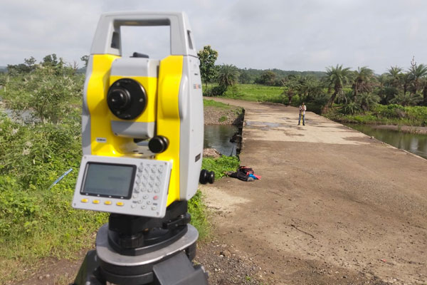
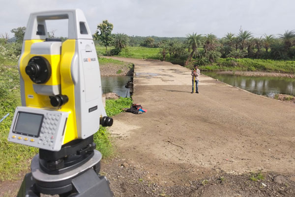
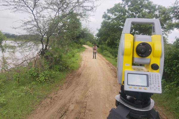
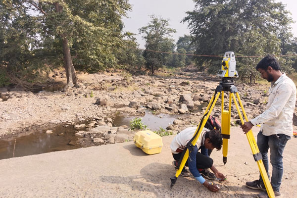
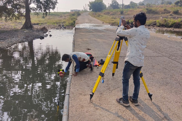
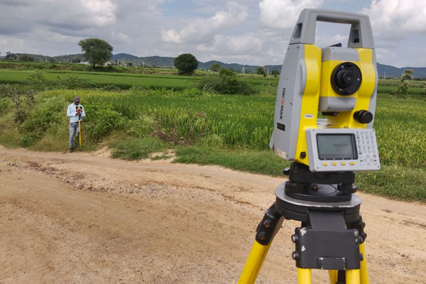
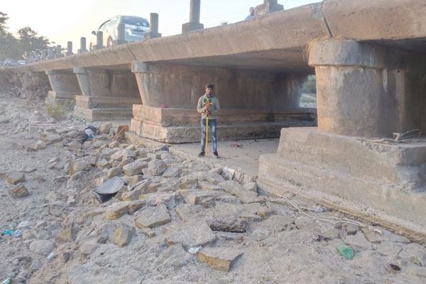
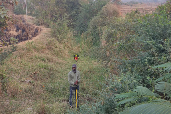
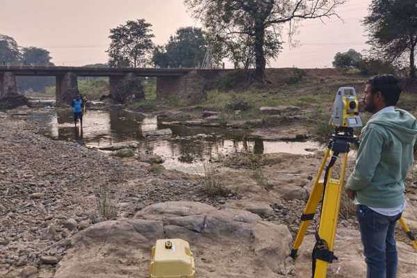
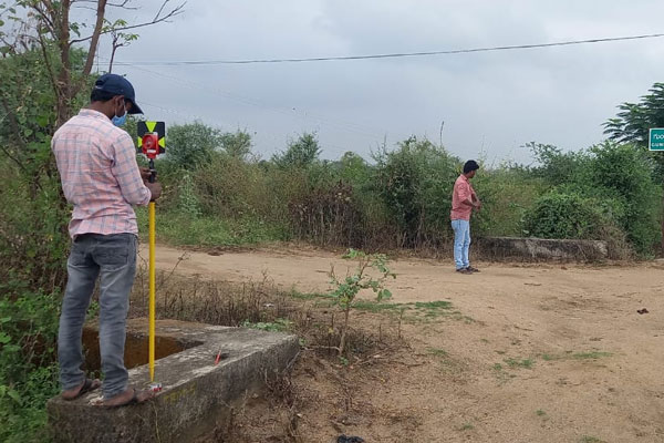
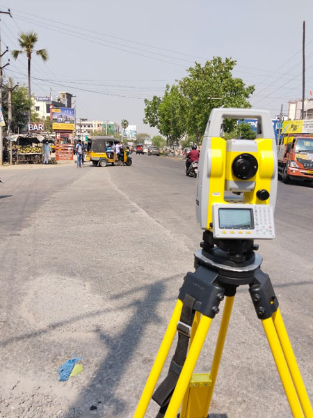
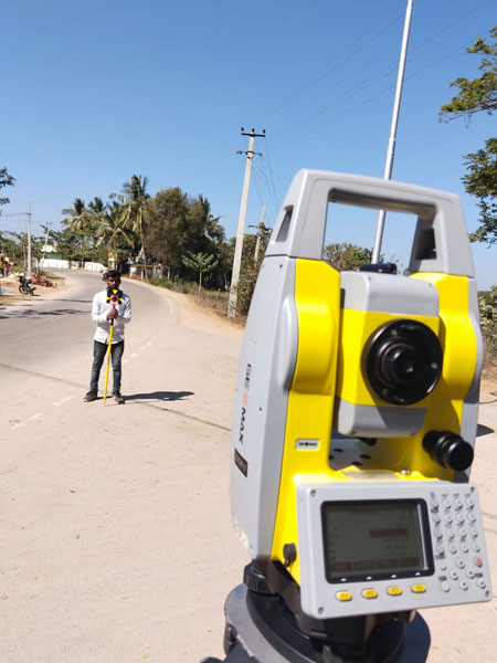
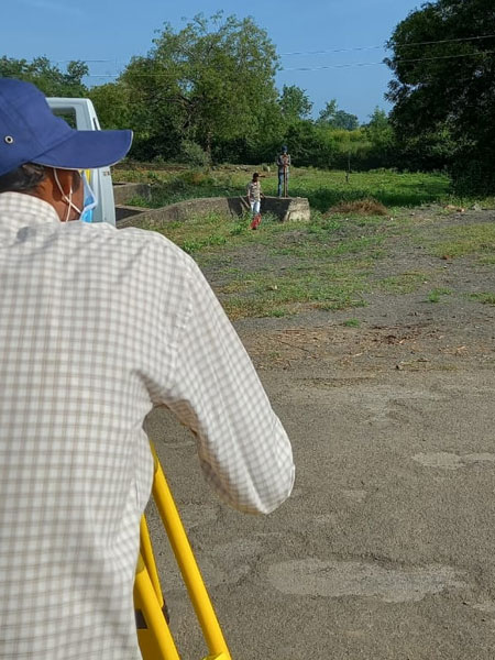
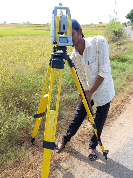
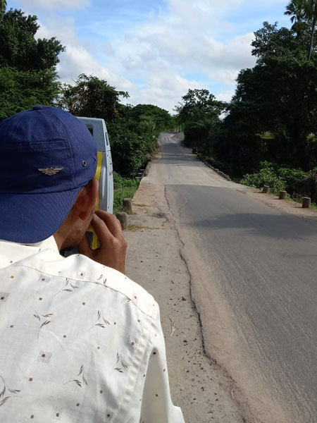
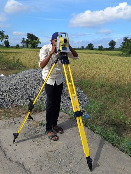
At SES Geotechnical Lab Pvt Ltd, we specialize in delivering accurate and reliable topographical surveys that form the foundation for every successful project. Our surveys capture the natural and man-made features of land-such as contours, elevations, boundaries, and existing structures-providing clients with a clear understanding of site conditions. Whether for planning, design, or construction, our precise data and detailed maps help engineers, architects, and developers make informed decisions with confidence.

We’re Here to Help